From 500 Cities to Data for All PLACES
Photo by Jos COLEMAN on Unsplash
A partnership between the Centers for Disease Control and Prevention (CDC), the CDC Foundation, and the Robert Wood Johnson Foundation made the PLACES data available in December of 2020. These data build on the 500 Cities methodology to make local estimates for a series of population health indicators available to every community in the country. Instead of relying on state or county level data, local areas can see 27 measures of health at the county, city, ZIP code, and census tract level. In the midst of all the chaos of 2020, this has gone somewhat unnoticed, but not by us. These data will help communities demonstrate, understand, and prioritize needs to inform strategic investment and action.

Why These Data Matter
For many years, primarily county-level data have been available to communities from national sources. While many health departments and state agencies also collect and report more localized data, smaller, less-resourced communities have had to rely on county-level data alone upon which to base their efforts. When prioritizing programs and investments, this leaves them at a disadvantage, struggling to know where and how to invest precious time and resources. In particular, when advocating for themselves, or when applying for grants, county-level data alone can mask significant disparities, making it difficult to compete for resources against communities with access to these localized estimates.


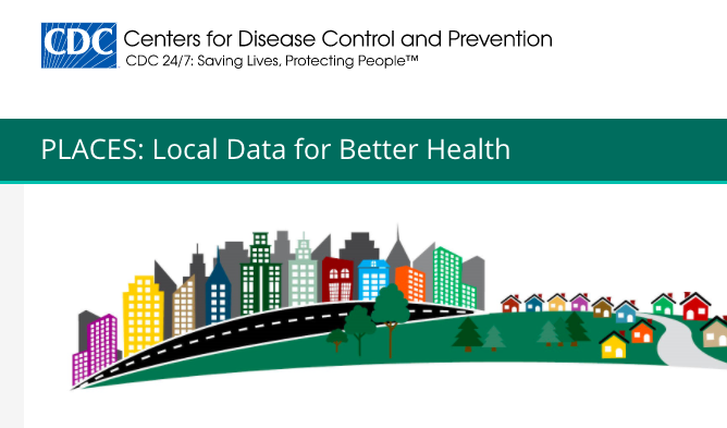
500 Cities Project: Local Data for Better Health
Story
-
 Original
Brought to you by Community Commons
Published on 02/09/2017


What It Is and How to Access
The PLACES data include 27 measures, including estimates for unhealthy behaviors (e.g., smoking, lack of sleep, binge drinking), health outcomes (e.g., diabetes, kidney disease, stroke), and prevention (e.g., health insurance, dental visits, mammography). A list of the measures and definitions can be found here.
You can access the raw data, view an interactive map, or compare up to three counties using the county comparison tool. For those who want to map or analyze the data, geographic and open data files are also available.
It is important to note that these data are estimates based on survey data and using statistical models. As a result, the smaller geographic areas with smaller populations can present a larger margin of error. As you browse these data, you will notice a confidence interval reported. This will provide an estimate, as well as a range the data could fall between. For example, in Emery, UT the estimated prevalence of a lack of health insurance is 14.3% with a confidence interval provided of 11.9-16.6. This means that there is a 95% confidence that the prevalence of those lacking health insurance is between 11.9% and 16.6%. Also, because these data are modeled, they cannot be used to evaluate the impacts of interventions and programs as those variables can’t be accounted for in the statistical model.
What We Hope to See Next
Understanding geographic disparity through these estimates is a step in the right direction. We hope these data raise the bar for other reporting agencies to report more localized data. In addition, we will continue to advocate for more data broken out by race and ethnicity in order to shed light on disparities.


Related Topics
